Käyrälampi Trail
Käyrälampi trail information in other languages
Welcome to the Käyrälampi trail
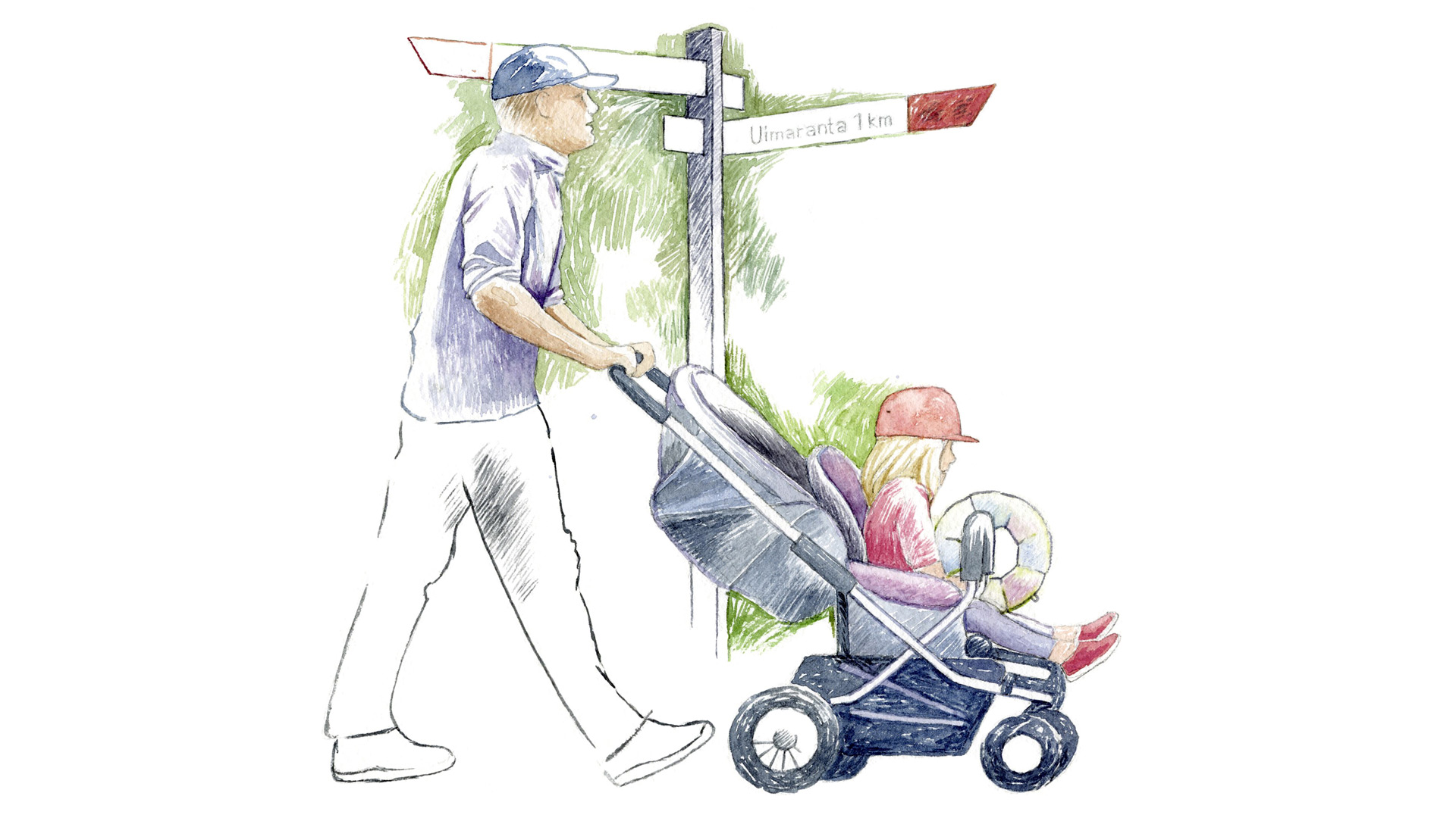
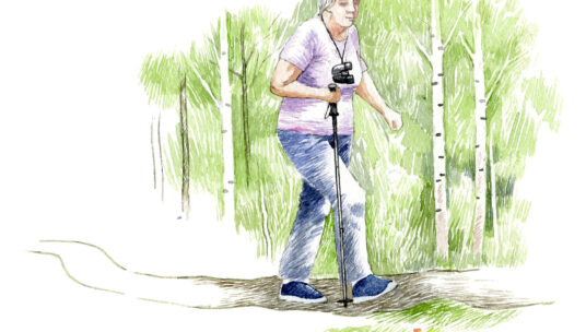
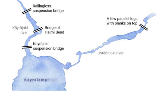
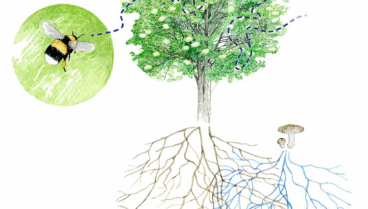
The Käyrälampi trail is about six kilometres long and it takes you around the whole of lake Käyrälampi. The route consists mainly of stone ash trails, wooden duckboards, pedestrian and bicycle ways. It is also accessible to users of wheelchairs, walkers and prams. There are some steeper sections of the route that may require assistance for manual wheelchair users. The trail is suitable for walking and cycling. Along the route there are diverse forests, beautiful views over lake Käyrälampi and two river crossings. In addition, many leisure and tourism services are available in Käyrälampi.
The trail runs from the Käyrälampi beach into the forest on the eastern side of the lake and follows the river Jyräänjoki for about two kilometres to the Paaskoski bridge. From Paaskoski, the route continues along the street network to the Käyräjoki bridge on the north side of the lake. It then returns along pedestrian and bicycle ways to the southern shore of Käyrälampi.
Between Paaskoski and Käyrälampi there are three campfire sites, two of which are accessible with benches and table groups. In addition, there are resting places equipped with benches along the trail. There is also a barbecue area near the beach.
Firewood is not provided at the campfire sites, so please bring your own firewood or charcoal and refrain from cutting trees in the forest. Please, don’t leave any litter behind. The route is not maintained during winter.
The best way to get to the trail is on foot or by bicycle, but there are parking spaces near the Käyrälampi beach and at the northern end of the Karimäentie road. The route is marked with orange signposts.